
A digital environment for safe deals and technology-driven development
- Property catalogBuyers
- List a plotOwners
- InvestmentsInvestors
- Agency workspaceAgencies
KUMBEZ is a Kazakhstani PropTech platform and a full-cycle architecture and urban planning company. Our mission is to transform the property market by removing legal and urban planning risk entirely. We give developers 100% data transparency and guarantee landowners faster deals and higher asset values.
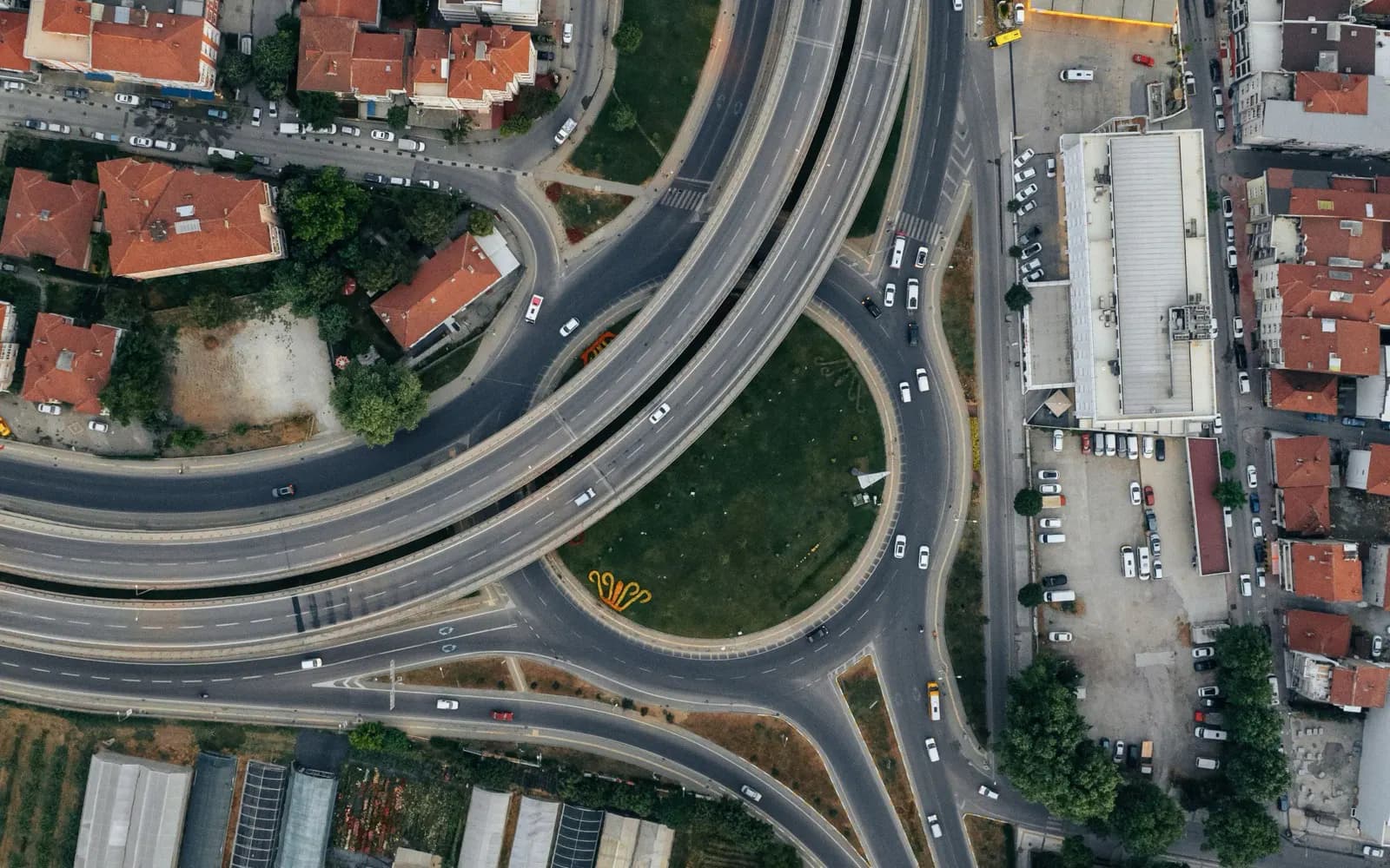
Invest in land with no blind spots: why properties on KUMBEZ sell higher and faster
Every investor knows how much time and nerve goes into checking an ordinary plot. KUMBEZ changes the rules of the game, turning a risky land purchase into a transparent, predictable asset.
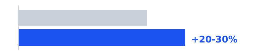
- plot capitalisation
- +20-30%
Time is money: level of trust
- An ordinary property
- Costs the investor 2–3 months of gruelling independent checks, enquiries and waiting.
- A property on KUMBEZ
- Maximum trust from the first click. Every figure is already digitised, checked and validated — no paperwork run-around.
Protecting your capital: deal safety
- An ordinary property
- Buying a “raw” plot is a gamble. A high risk of the project being cancelled at the APZ stage (the architectural and planning assignment) because of hidden seismic or water protection zone constraints.
- A property on KUMBEZ
- 100% transparency on the boundaries of the building footprint. You know exactly what you may build and where before you sign.
Off to a running start: ready to work
- An ordinary property
- The buyer spends months and budget of their own ordering a topographic survey and a DPP extract, and collecting the basic certificates.
- A property on KUMBEZ
- A complete source package (drone + topographic plan + DPP) that can go straight to the project's Chief Architect, with design starting the day you buy.
Higher returns: capitalisation
- An ordinary property
- Sells at the base market price, but always at a steep discount — buyers price the hidden risks in.
- A property on KUMBEZ
- Earns a premium valuation (+20-30%) purely through impeccable documentary transparency and readiness to build.
With KUMBEZ you are not simply buying land. You are buying certainty, time saved, and a liquid asset worth more.
Important legal notice (Disclaimer)Lawful data collection and the limits of our responsibility
We combine modern survey technology, geographic information systems (GIS) and experience in volumetric design. So that an investor or an architect can work with a property safely, we assemble a complete pre-design survey package:
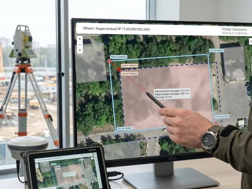
Property identification
We establish the plot's exact physical and cadastral boundaries, detect overlaps with neighbouring plots, check the state cadastre coordinates and confirm the area.
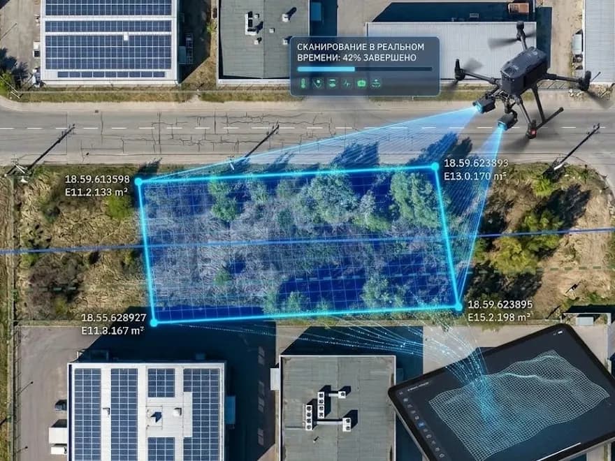
Aerial survey by UAV (drones)
We fly a high-detail aerial photo survey of the site and produce up-to-date high-resolution orthophoto maps and digital 3D terrain models for accurate siting analysis.
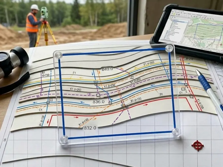
Engineering topographic survey
We produce topographic plans at scales of 1:500 – 1:2000, mapping every above-ground and underground utility line, and agree the result with the utilities that operate them.
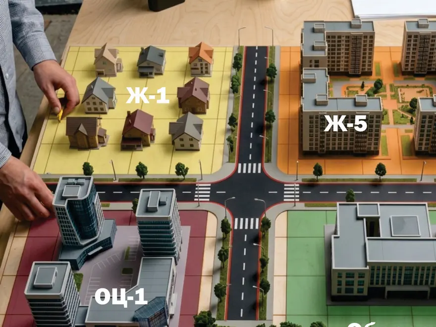
Detailed planning project extract
We obtain and interpret extracts from the General Plan and the Detailed Planning Project (DPP) to analyse designated use, permitted density and number of storeys.
Documents and surveys
We assemble the pre-design package for a plot and hand it over as one set. Tree and as-built surveys are available separately.
Showing “before”: the plot's boundaries, relief, utility lines and permitted use are unknown.
Boundaries and area
Taken on the seller's word, overlaps with neighbouring plots possible
Survey of the site
A couple of phone photos
Relief and utility lines
Unknown — the buyer has to find out
What can be built
Unclear without a DPP extract
Planning risks
APZ may be refused over seismic, water-protection or red-line constraints
Ready for a deal
An investor needs 2–3 months of independent checks
List your property on the KUMBEZ platform
List a propertyRequest the Kumbez package
We assemble your plot’s source data and hand it over as one set:
- Boundaries, area and encumbrances from the state cadastre
- Detailed-plan extract: what may be built
- Topographic survey: relief and utility lines
- Aerial drone survey
We reply within one business day with the timeline and price.